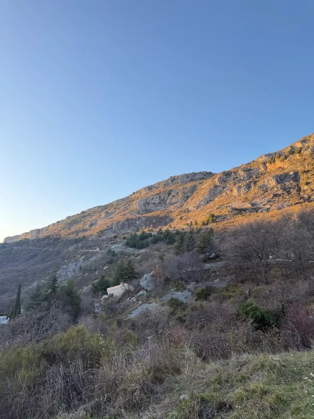
On the edge of the Préalpes d’Azur Regional Nature Park, Gréolières-les-Neiges is an ideal hiking base. The resort, between 1,400 and 1,800 m, gives access to waymarked routes ranging from a two-hour family loop to a two-day traverse along the Cheiron ridge — all about 1 hour’s drive from Nice, Cannes or Grasse.
Here are the routes worth knowing, with their real figures, their pitfalls and the season to favour for each.
The Great Peony Loop: the star of spring
This is the signature route of Gréolières, and the best choice for a first look at the massif.
The route
It starts at marker 206, at the resort car park (1,400 m), following the yellow PR waymarking. The loop skirts the Cheiron biological reserve on the north face, mostly in shaded woodland — a considerable asset as soon as temperatures climb.
The official figures give 7 km, +200 m of ascent and 2 hr 15 of walking, at an easy grade.
Two sets of figures are in circulation: which to trust?
You will also find a second published version of the same sector: 7.8 km, +205 m, 2 hr 50, graded moderate, passing markers 208, 209 and 196. This variant flags a stretch on a faint, hard-to-spot 4x4 track.
In practice, plan for the higher scenario: a good half-day, around 3 hours with stops. And above all, do not set off without a way to navigate: the yellow waymarking is fine for most of the route, but the junction with the 4x4 track is easy to miss. A GPS track or an IGN map avoids an unplanned extension.
Wild peonies: photograph them, never pick them
The point matters, and it is not negotiable. The common peony is a nationally protected species under the decree of 20 January 1982: its destruction, cutting, uprooting and picking are prohibited.
A few simple habits let you enjoy the display without damaging it:
- Stay on the path. Trampling around the flower stations is what wipes them out fastest, long before picking does.
- Photograph from close by, not from the middle. A telephoto lens or a simple sidestep is enough for a good image without crushing the neighbouring vegetation.
- Dig nothing up. Peonies do not transplant into a garden: it is illegal and, in any case, doomed to fail.
- Keep dogs on a lead, particularly near the biological reserve.
The Cime du Cheiron from the resort
The best effort-to-panorama ratio in the area. From the Collet car park, the GR4 climbs to the Cime du Cheiron (1,778 m), the highest point of the Préalpes d’Azur: 8.4 km return, +504 m, around 4 hours, moderate grade.
The route first crosses pine woods, then opens onto drier terrain scattered with lavender. At the summit, three orientation tables help you decode a panorama that runs from the coastline to the Mercantour; we cover all of that in our guide to the most beautiful viewpoints around Gréolières.
Two things to watch on the way:
- The raptors. The area is frequented by the short-toed snake eagle and the griffon vulture. The first is recognisable by the way it hovers, head down, above the slopes.
- The flocks. They are common on the high pastures in summer (see below).
In summer, the Huskies chairlift shortens the climb: useful with children, or if you want to turn a hike into a summit stroll.
The Cime du Cheiron from the village: the long version
For trained walkers, there is a far more demanding way to reach the summit: start from the village of Gréolières (839 m) and follow the GR4, then the ridge. The tally is severe: 26 km return, +1,500 m, around 10 hr 30, difficult grade.
The route passes the Croix de Verse (1,706 m) and the Jérusalem pylon (1,768 m). The reference map is the IGN TOP25 3642 ET.
This is a genuine full-day undertaking: start at dawn, manage water and food strictly, and keep an eye on your point of no return. If the weather deteriorates or the schedule slips, better to turn back before the ridge than to finish the descent by headtorch.
Routes for seasoned walkers
The Cheiron ridge loop
Around 15 km and +870 m, difficult grade, recommended from May to November. This is the most spectacular way to travel the massif: you walk the watershed, with the coastline on one side and the inland valleys on the other. The flip side is total exposure — no shade, wind, and real vulnerability in a thunderstorm.
The two-day “Crête du Cheiron” traverse
Proposed by Randoxygène (Département 06), this traverse covers 24.5 km over 2 days from the village:
- Day 1: 7 km, +670 m, to the Jas du Suy bivouac.
- Day 2: 17.5 km, +620 m / -1,170 m.
Two major warnings. First, there is no water point anywhere on the route: all the water for both days is carried from the village, which is serious weight (count at least 3 to 4 litres per person per day in summer). Second, livestock guardian dogs are present along the route. The practicable period runs from May to November.
GR4, the Maralpine and the Loup circuit
The GR4 crosses Gréolières, which opens up many combinations. The “Maralpine” passes through the sector with its stage 3 Aiglun-Gréolières. Finally, the Loup circuit, between Gréolières and Cipières, offers a moderate grade and an entirely different landscape, turned towards the valley.
If you are linking several days, it is better to stay locally: see our suggestions on where to stay in Gréolières.
Equipment: the list that avoids nasty surprises
Nothing exotic, but nothing optional either:
- Water, in quantity: this is the critical point in this massif. On the ridges, count at least 2 litres per person for a half-day, more in summer.
- High-cut walking boots: the paths alternate between rolling stones and dry grass, which is very slippery on a slope.
- Sun protection: hat, sunglasses, cream. Altitude and the lack of shade on the ridges accelerate sunburn.
- Windproof and a warm layer, even in fine weather: the Cheiron ridge is windy, and 10 °C less than at the car park is nothing unusual.
- Map, GPS track and a power bank: do not depend on your phone alone.
- A headtorch as soon as the outing exceeds 4 hours: it weighs 60 g and changes everything if you run late.
Check the mountain forecast the day before and again on the morning itself, and tell someone your route and expected return time before you leave.
Flocks and guardian dogs: the right moves
Patous are not aggressive dogs: they are working dogs whose job is to assess an unknown presence. The correct conduct is simple:
- Go round the flock at a wide distance, without crossing it.
- Slow down, do not run, do not shout and make no sudden gestures.
- Get off your bike if you are riding, and push it.
- Do not stroke the dog and do not push it away with a stick.
- Keep your own dog on a lead and behind you: it is almost always your dog that triggers the reaction.
Hiking around the resort in winter
Once the snow is established, the same sectors are travelled on snowshoes. Three classics: the western Peony loop (1 hr 30), the Croix de Verse (3 hr 30) and the Cime du Cheiron (7 hr). The distances do not change, but the times lengthen considerably as soon as you have to break trail.
Setting off well equipped from the foot of the slopes
Our shop is at 310 Traverse du Cheiron, at the foot of the slopes and a stone’s throw from the start of the Peony loop. We are open 7 days a week from 9 am to 5 pm, and the 2,800-space car park is free.
In winter we rent snowshoes at €11 a day. In summer, an electric mountain bike (€40 for a half-day, €60 for a day) gets you to the ridge far faster than on foot: that is the subject of our article on the MTB trails around Gréolières, and detailed prices are on the electric mountain bike rental page.
Unsure about the day’s conditions, the snow cover or the state of a path? Call +33 6 21 45 80 87 or write to us via the contact page: we will give you a straight answer, including if it would be better to postpone.